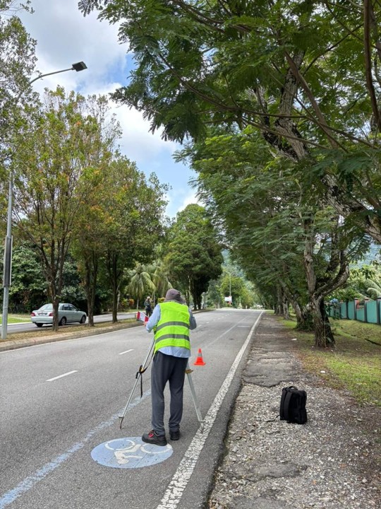
Supporting landowners, developers, and project professionals
with surveying and geospatial solutions, from Kuala Lumpur
to projects across Malaysia.
LAND & DEVELOPMENT
Comprehensive Surveying Support
Supporting land title matters, strata developments,
engineering works, and property development through
professional surveying services.
TECHNICAL EXPERTISE
Accuracy & Professionalism
Combining surveying knowledge, geospatial technology,
and technical documentation to support informed
project decisions.
Learn More About Us
Jurukur Murni provides professional land surveying and geospatial solutions to support land administration, property development, and infrastructure projects across Malaysia.
With a focus on accuracy, technical expertise, and reliable surveying practices, we assist landowners, property developers, consultants, and construction professionals with their surveying requirements.
Our services cover a wide range of surveying disciplines, including Strata Title Survey, Title Survey, Engineering and Topographical Survey, GIS, Hydrographic Survey, Aerial Mapping, and Land Development Support.
We are committed to delivering dependable survey data, proper technical documentation, and professional guidance to help clients make informed decisions throughout their projects.
What We Do
We provide professional surveying solutions that support land ownership, property development, and construction projects through accurate measurements and technical expertise.
Land & Title Surveying
We provide surveying and technical support for land title matters, including subdivision, partition, amalgamation, and individual title applications.
Our services also cover SiFUS, CPSP, and Strata Title applications, helping property owners and developers navigate surveying requirements and documentation throughout the application process.
Engineering & Development Surveys
Accurate surveying information is essential for effective development planning and construction activities.
Jurukur Murni provides engineering and topographical surveying services, including construction setting out, control surveys, detail surveys, and contour mapping to support residential, commercial, and infrastructure development projects.
Geospatial & Mapping Solutions
We offer geospatial surveying solutions that support land assessment, spatial analysis, and development planning.
Through Geographical Information System (GIS), aerial mapping, and hydrographic surveying services, we provide valuable spatial information to assist clients in understanding site conditions and making informed project decisions.
Jurukur Murni is a licensed land surveying firm based in Bukit Jalil, Kuala Lumpur, with over 30 years of experience in title, strata and development-related surveys. We support structured land office submissions and regulatory compliance across Malaysia.