Choose The Dignified Care Service

Find What Is Best For Your Loved Ones From Our Caregiving Service Catalogue

Strata Title Survey

Professional surveying and technical support for strata title applications and property ownership documentation.

Title Survey

Supporting land subdivision, partition, amalgamation, and individual title applications through surveying services.

Engineering Topographical Survey

Accurate site measurements, terrain mapping, and technical surveying support for engineering and construction projects.

Land & Housing Development

Surveying solutions to support land development planning, housing projects, and site preparation.

GIS

Geospatial mapping and land data integration to support planning, analysis, and informed decision-making.

Hands working on a crafting project with ruler and paper

Aerial & Hydrographic Survey

Aerial mapping and water-based surveying solutions for large-area mapping, waterways, and waterfront projects.
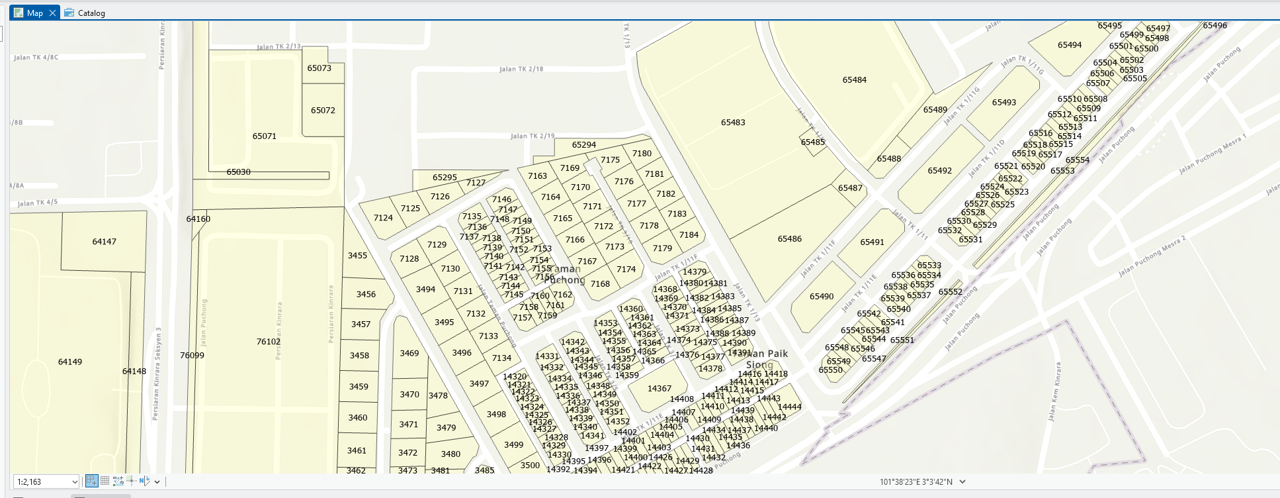
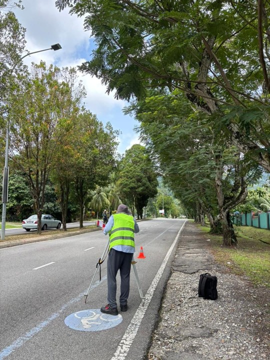
Professional Land Surveying & Geospatial Services in Malaysia

At Jurukur Murni, we provide a comprehensive range of land surveying and geospatial services to support landowners, property developers, consultants, and construction professionals across Malaysia. Our services cover land title surveys, strata title applications, engineering and topographical surveys, hydrographic surveys, aerial mapping, and Geographic Information System (GIS) solutions. From initial site assessments to technical surveys and documentation, we aim to deliver accurate surveying information and professional support to help clients make informed decisions throughout their projects.

Who We Serve

Our surveying services are designed to support individuals, businesses, and professionals involved in land ownership, property development, infrastructure, and construction projects. We work with clients who require reliable land information, technical surveying support, and geospatial solutions for their projects.

  • Landowners & Property Owners — Land title matters, boundary surveys, and property-related surveying needs.

  • Property Developers — Surveying support for residential, commercial, and mixed-use developments.

  • Architects & Engineering Consultants — Topographical information, site measurements, and technical survey data.

  • Construction Contractors — Setting-out surveys, site control, and construction-related measurements.

  • Government & Project Organisations — Geospatial mapping and surveying support for planning and infrastructure projects.

How Our Surveying Services Support Your Project

Accurate surveying information plays an important role in land ownership, property development, construction, and infrastructure planning. At Jurukur Murni, our services provide the technical measurements, mapping information, and documentation needed to support different stages of a project. Whether you are managing land title matters, preparing a development site, or carrying out engineering works, our team can assist with surveying solutions tailored to your project requirements.

  • Land Ownership & Title Matters — Supporting land subdivision, partition, amalgamation, and title-related applications.

  • Strata Development & Documentation — Providing technical surveying support for strata title applications and related documentation.

  • Property & Housing Development — Supplying survey information for development planning and project preparation.

  • Construction & Engineering Works — Supporting site setting-out, alignment, and construction measurements.

  • Geospatial Mapping & Analysis — Delivering GIS data, aerial mapping, and spatial information for planning and decision-making.

Our goal is to provide dependable surveying information and professional technical support, helping clients approach their projects with greater clarity and confidence.

YOUR PROJECT STARTS HERE

NEED PROFESSIONAL SURVEYING SUPPORT?

From land title surveys to engineering works and geospatial mapping, let our team help you identify the right surveying solutions for your project.

Enquire via WhatsApp